
Map It All.
Class Project (DESIGN 170)
Spring 2025 - Stanford University
Design Process
The concept for Map It All originated from my own experiences on the slopes, since I’ve been very interested in tracking my time skiing but could not find a reliable, centralized source of information for advice when doing a new trail or tour.
In Visual Frontiers (DESIGN 170), we were challenged to develop our concepts over multiple prototypes with different considerations, such as target audience, aesthetic, typography, and storytelling.
Right: Collage of prototypes and coursework throughout the process.
Considerations
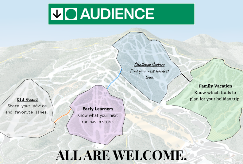
I thought about different types of skiers and how they would use the app, from family vacation goers to seasoned experts looking to share their knowledge with the next generation.
I pursued a high-contrast theme on dark mode to save phone battery and contrast with bright conditions in the snow. I really like the topography texture I used for the background, as it nicely breaks up the app widgets without distracting from function!
This was great practice for working with UI/UX and bringing an app concept to life!
Mood board


Early logo ideation
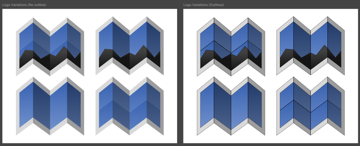
Refined logo prototypes

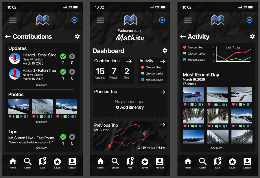
Final phone interface

Storyboard assignment
As part of the Visual Frontiers course at Stanford, I designed a concept app for skiers looking to elevate their experience both in and outside of resorts anywhere in the country.
As an avid skiing enthusiast, I’ve always dreamed of a way to easily stay up-to-date on weather conditions, trail routes, and community advice.
Map It All caters to skiers of all abilities, but I had an advanced backcountry community in mind. I am very happy with the final result!
I designed my mockup in Figma.
Right: Splash of final app layout.
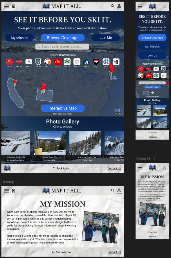
Website concept